
Where Is Ol Pejeta Conservancy? Location, Access and What to Expect
Ol Pejeta Conservancy sits on the equator in Laikipia County, and pinning down exactly where it is matters more than most travelers expect. Get the location wrong in your planning and you risk a longer transfer, a missed rhino tracking slot, or a camp booking that does not match your route. Trunktrails Safaris builds Laikipia tours and safaris around this exact conservancy every week, so this guide gives you the real coordinates, distances, gates, and airstrips instead of vague direction.
By the end of this guide, you will know exactly where Ol Pejeta Conservancy sits on the map, how to reach it by road or air, what the gates and entry process look like, and what a typical first day inside the conservancy feels like once you arrive.
Where Is Ol Pejeta Conservancy Located?
Ol Pejeta Conservancy sits in Laikipia County, on Kenya’s central plateau between Mount Kenya and the Aberdare Range. The conservancy straddles the equator, which is why local guides often stop at the equator marker on the Nanyuki road before heading in. Its northern edge touches the Ewaso Nyiro River, and its southern boundary runs close to the town of Nanyuki.
Unlike Amboseli or the Masai Mara, Ol Pejeta is not a government-run national park. It is a private, not-for-profit wildlife conservancy that funds its own rangers, veterinary teams, and rhino security through tourism and cattle ranching. That private status is part of why location matters here: entry runs through specific gates rather than open park boundaries, and Trunktrails Safaris times every transfer to land guests at the right one.
How Far Is Ol Pejeta Conservancy From Nairobi?
Nairobi to Ol Pejeta Conservancy covers roughly 200 kilometers, a drive that normally takes between 3.5 and 4 hours depending on traffic through Nairobi’s northern suburbs and Nyeri town. Most Trunktrails Safaris road itineraries leave Nairobi early, pass through Nyeri, then continue north with clear views of Mount Kenya before turning off toward the conservancy’s gates.
| From | Distance | Drive Time |
|---|---|---|
| Nairobi (via Nyeri, Nanyuki) | About 200 km | 3.5 to 4 hours |
| Nanyuki town | About 25 km | 30 to 40 minutes |
| Aberdare National Park | About 85 km | Under 2 hours |
| Nairobi Wilson Airport (flight) | About 45 minutes air time | Plus 45 to 60 minute road transfer from Nanyuki |
If your Kenya itinerary already includes Aberdare National Park or Nairobi, Ol Pejeta pairs naturally into the route without adding a full extra travel day.
What Is the Nearest Airport to Ol Pejeta Conservancy?
Nanyuki Airport is the closest airstrip to Ol Pejeta Conservancy, served by scheduled flights from Nairobi’s Wilson Airport that take about 45 minutes in the air. From Nanyuki, a road transfer of 45 to 60 minutes brings you to your camp inside the conservancy. Several lodges also arrange direct charter flights onto Ol Pejeta’s own private airstrip, cutting the road transfer down further for guests on tighter schedules.
Trunktrails Safaris books both options depending on your itinerary. Guests combining Ol Pejeta with a Mount Kenya or Aberdare loop usually prefer the road route for the scenery, while guests on a shorter Kenya trip often choose the flight to maximize time inside the conservancy.
Which Gate Do You Use to Enter Ol Pejeta Conservancy?
Rongai Gate is the main entrance most visitors use, positioned on the road linking Nanyuki and Nyeri. It is the gate Trunktrails Safaris routes almost all road transfers through, since it sits closest to the main tarmac highway and processes entry permits quickly. Additional access points exist along the conservancy’s eastern and western boundaries, but these are mainly used by specific lodge transfers rather than general visitor traffic.
At the gate, rangers check your booking confirmation and collect the conservancy entry fee before you proceed to your camp or first game drive. Arriving with your permit details ready keeps this step short, usually under fifteen minutes.
How Big Is Ol Pejeta Conservancy?
Ol Pejeta covers 364 square kilometers, close to 90,000 acres, of savanna, riverine forest, and open plains. That size matters for planning because it is large enough for full-day game drives without repeating the same routes, yet compact enough that transfers between camps rarely exceed 30 to 40 minutes.
| Fact | Detail |
|---|---|
| Size | 364 km² (about 90,000 acres) |
| County | Laikipia |
| Main entry gate | Rongai Gate |
| Nearest town | Nanyuki (about 25 km) |
| Nearest airport | Nanyuki Airport |
| Northern boundary | Ewaso Nyiro River |
| Entry fee (non-resident, indicative) | USD 90 to 100 per adult per 24 hours; USD 45 to 50 per child (confirm current rate with Trunktrails Safaris before travel) |
Conservancy fees adjust periodically to fund ranger salaries and anti-poaching patrols, so treat the figures above as an indicative range rather than a locked rate.
What Should You Expect on Arrival at Ol Pejeta?
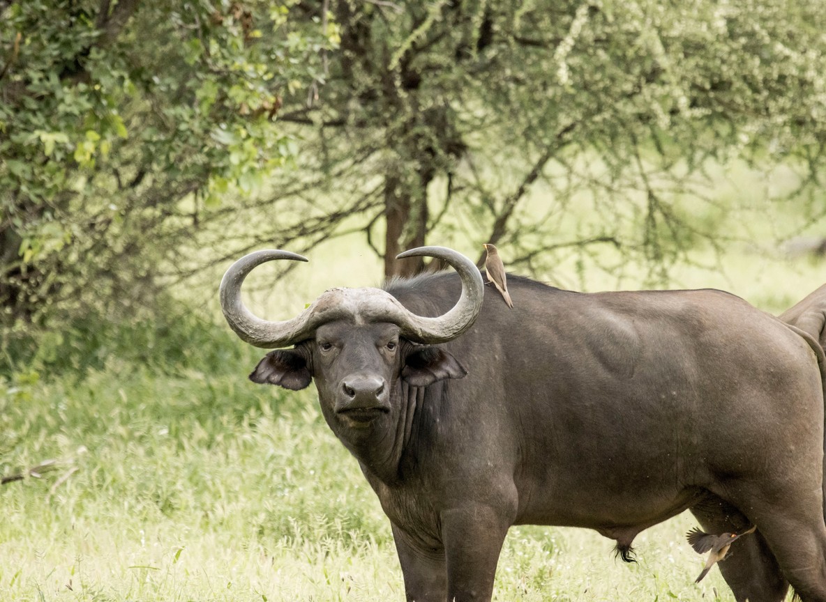
Most guests arrive at Rongai Gate, complete a short check-in with rangers, then head straight into an afternoon game drive on the way to camp. Ol Pejeta packs a lot into a first afternoon: it is a Big Five destination, so lion, leopard, elephant, buffalo, and rhino sightings are realistic within your first few hours on the ground.
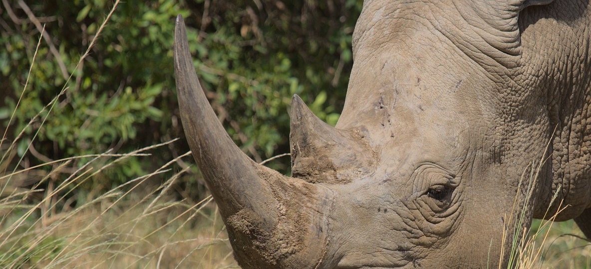
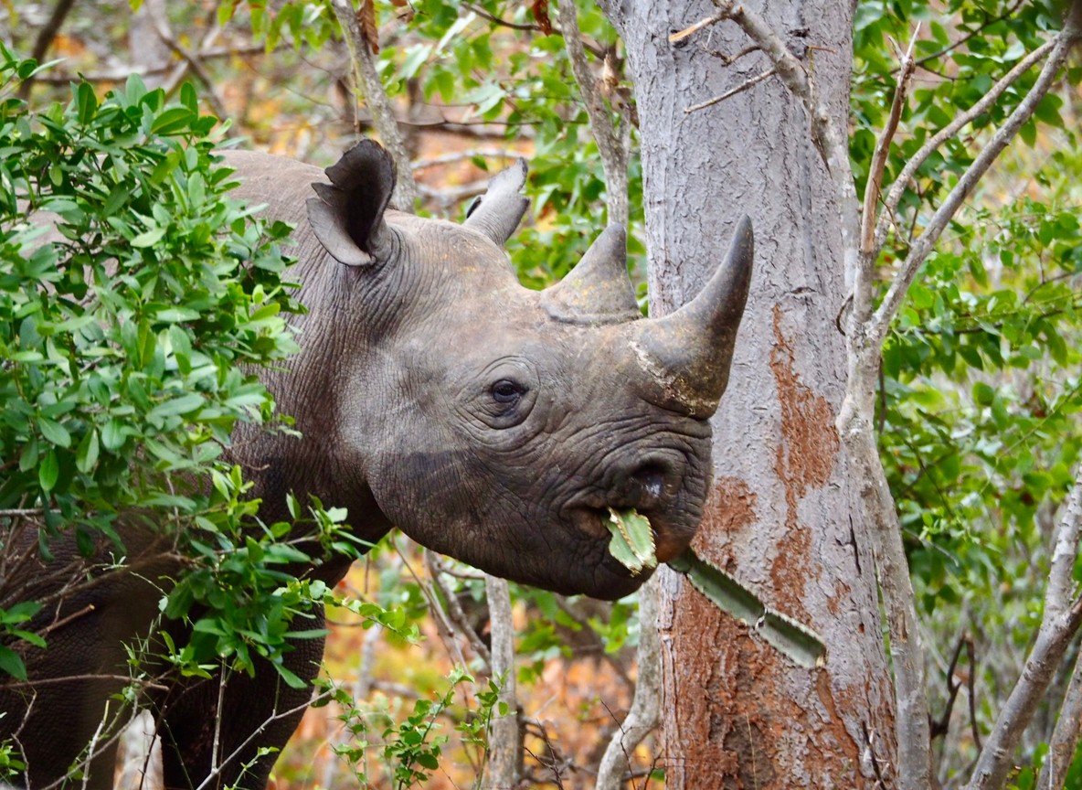
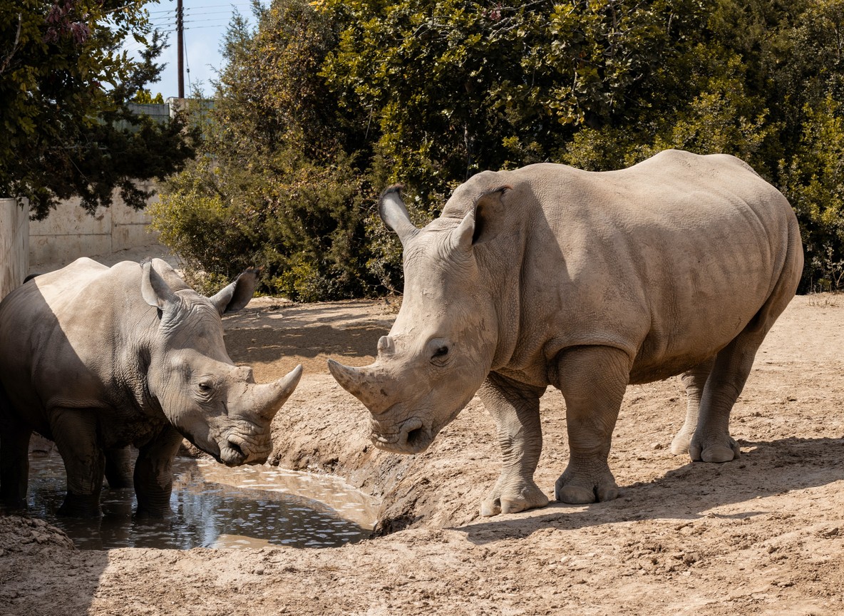
Expect a briefing from your guide about the conservancy’s rhino sanctuary protocols, since Ol Pejeta protects the largest black rhino population in East Africa alongside Najin and Fatu, the last two northern white rhinos on the planet. Camps also brief guests on optional activities like rhino tracking on foot, night game drives, and a visit to the Sweetwaters Chimpanzee Sanctuary, all of which run on a schedule set the morning you arrive.
How Does Ol Pejeta’s Location Compare to Other Laikipia Conservancies?
Laikipia County holds several private conservancies, and travelers often ask how Ol Pejeta’s location compares to nearby options. The table below lays out the practical differences for trip planning.
| Conservancy | Distance From Nairobi | Nearest Airstrip | Known For |
|---|---|---|---|
| Ol Pejeta Conservancy | About 200 km / 3.5 to 4 hrs | Nanyuki Airport | Rhino sanctuary, Big Five, chimpanzee sanctuary |
| Lewa Wildlife Conservancy | About 260 km / 5 hrs | Lewa Downs Airstrip | Rhino conservation, Great Grevy’s Rally |
| Solio Ranch | About 190 km / 3.5 hrs | Nyeri Airstrip | High rhino density, day-trip access |
| Loisaba Conservancy | About 280 km / 5.5 hrs | Loisaba Airstrip | Star beds, remote wilderness feel |
Ol Pejeta’s shorter drive time and closer airstrip make it one of the most accessible conservancies in Laikipia, which is part of why Trunktrails Safaris recommends it for travelers with limited days on the ground.
What Wildlife Will You See Near Ol Pejeta’s Location?
Because Ol Pejeta sits between Mount Kenya and the Aberdare Range, its landscape blends open savanna with denser highland vegetation, supporting a wider mix of species than a single-habitat park. Guests regularly see lion, elephant, buffalo, both black and white rhino, Grevy’s zebra, and reticulated giraffe, species not always found together in one location elsewhere in Kenya.
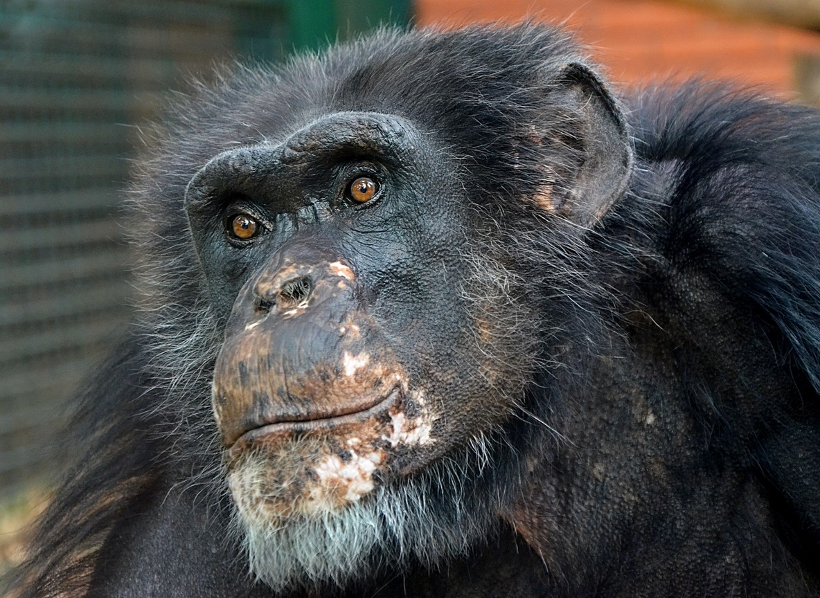
The Sweetwaters Chimpanzee Sanctuary, run with the Jane Goodall Institute, adds a species you will not find on a typical Kenyan game drive. Its location within the conservancy means a visit fits easily into the same day as your arrival game drive.
The Trunktrails Advantage
Trunktrails Safaris is a Kenyan-owned tour operator, licensed under TRA Licence No. TRA1/22/C01/92750, and our guides know Ol Pejeta’s gates, ranger schedules, and camp managers personally. That local knowledge means we route your transfer through the right gate, at the right time, without the guesswork that trips up travelers booking blind online.
We build every Ol Pejeta itinerary around verified logistics: real drive times, current conservancy fees, and airstrip options matched to your schedule. Five percent of every Trunktrails Safaris booking supports wildlife conservation, so choosing us to reach Ol Pejeta also supports the same rangers protecting Najin and Fatu. When you travel with a Kenyan-owned, TRA-licensed operator, your tours and safaris fund the landscapes you came to see, and our tailor-made tours and safaris always start with the route logistics, not a generic template.
Further reading
More safari planning resources
- Kenya national parks map from SafariPure
- Ol Pejeta and Sweetwaters safari package from Valley Safaris
- Big Five safari parks guide on Touring Insights
- Big Five safari collection on FindMySafari
Ready to Plan Your Route to Ol Pejeta?
Now that you know exactly where Ol Pejeta Conservancy sits and how to reach it, the only thing left is locking in your dates and gate. Trunktrails Safaris handles every transfer detail, from Nanyuki flight bookings to the Rongai Gate check-in, so you arrive ready for your first game drive instead of untangling logistics.
📞 WhatsApp: +254 113 208888 📧 Email: info@trunktrailssafaris.com 🌐 Website: https://trunktrailssafaris.com
Message Trunktrails Safaris today and we will map your full route to Ol Pejeta, gate to game drive, before you land in Kenya. 🌍🦏