The Hidden Wildlife Highway: What a Camera Trap Found Deep in the Masai Mara
Most visitors to the Masai Mara think of the reserve as a single open plain. In reality, the ecosystem depends on narrow, hidden paths that animals use to move between the reserve, the surrounding conservancies, and the forested hills to the north. Conservation teams are now using camera traps to map this hidden wildlife highway, and what the images show is changing how the Mara is protected.
This matters to travelers too. The corridors that camera traps are documenting are often the same patches of bush your guide points to on a game drive. Understanding them turns a good safari into a genuinely informed one. Trunktrails Safaris works with camps and conservancies across this landscape, and we believe every guest should understand the ecosystem they are driving through. 🐘
What Is a Wildlife Corridor, and Why Does the Mara Need One?
A wildlife corridor is a strip of habitat that connects two larger areas of protected land, allowing animals to move safely between them. Without corridors, wildlife populations become isolated. Isolated populations lose genetic diversity, cannot follow seasonal food and water, and are far more vulnerable to drought, disease, and human conflict.
The Masai Mara National Reserve covers 1,510 square kilometres, but it does not function alone. It sits at the northern tip of the wider Mara-Serengeti ecosystem, which spans roughly 40,000 square kilometres of reserve, conservancy, and community land across Kenya and Tanzania. The reserve connects south to the Serengeti National Park in Tanzania, which alone covers 14,750 square kilometres, and north to the Loita Hills and Loita Forest (also known as Naimina Enkiyio, “the forest of the lost child”).
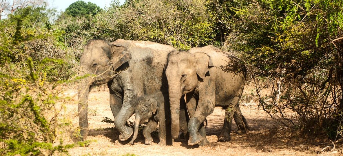
Elephants, in particular, need this northern link. Herds move between the Mara and the Loita Forest to access dry-season grazing and water that the open reserve cannot provide year-round. When that corridor narrows or is cut off by fencing and farmland, elephants are forced into conflict with communities on the forest edge.
How Camera Traps Map an Invisible Highway
A camera trap is a weatherproof camera fitted with a motion sensor, strapped to a tree or post along a suspected animal path. It captures a photo or short video burst whenever something moves in front of it, day or night, without a researcher present. Conservation teams in the Mara ecosystem, including partners such as the Kenya Wildlife Trust and the Mara Elephant Project, deploy networks of these cameras alongside GPS collar data to build a picture of exactly where animals cross between protected areas.
Over weeks and months, the pattern becomes clear. The same narrow strips of riverine bush, the same gaps between conservancy boundaries, and the same crossing points on the Mara River and its tributaries show repeated use by leopard, hyena, elephant, and buffalo. These are not random paths. They are the load-bearing routes of the entire ecosystem.
What repeated camera trap monitoring typically reveals in this landscape:
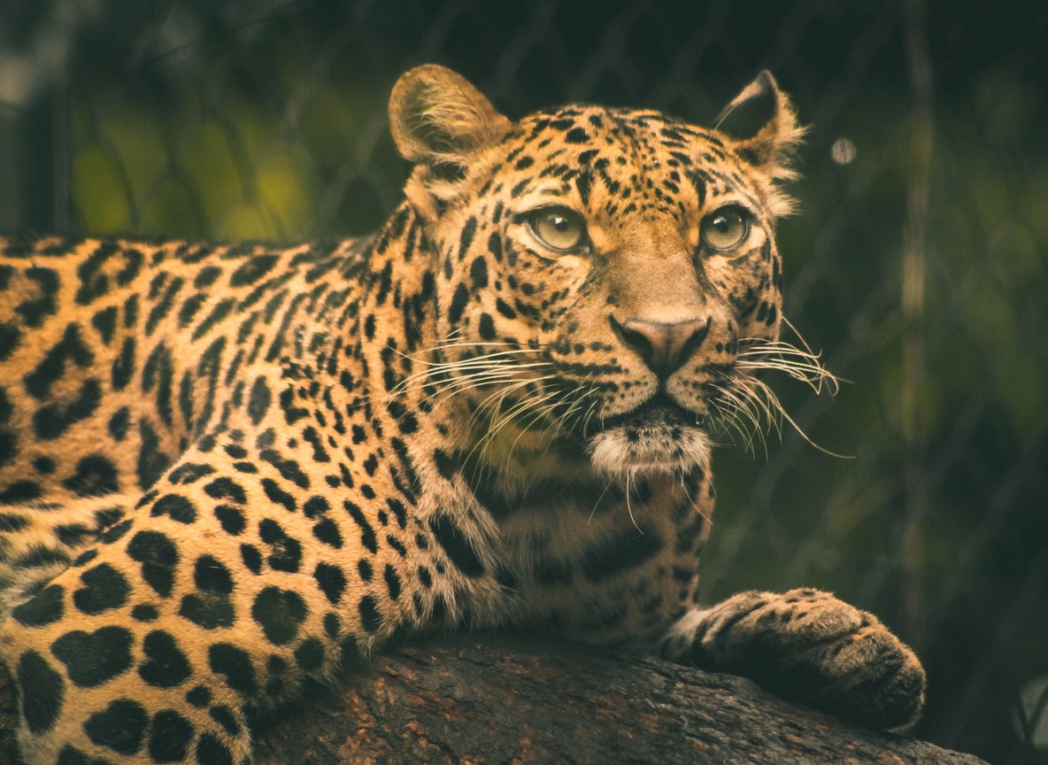
- Leopards favour dense riverine thickets along the Mara River and Talek River, using the same crossing points for months at a time.
- Elephant family groups move along consistent routes between the reserve and the Loita Forest, often at night to avoid human activity.
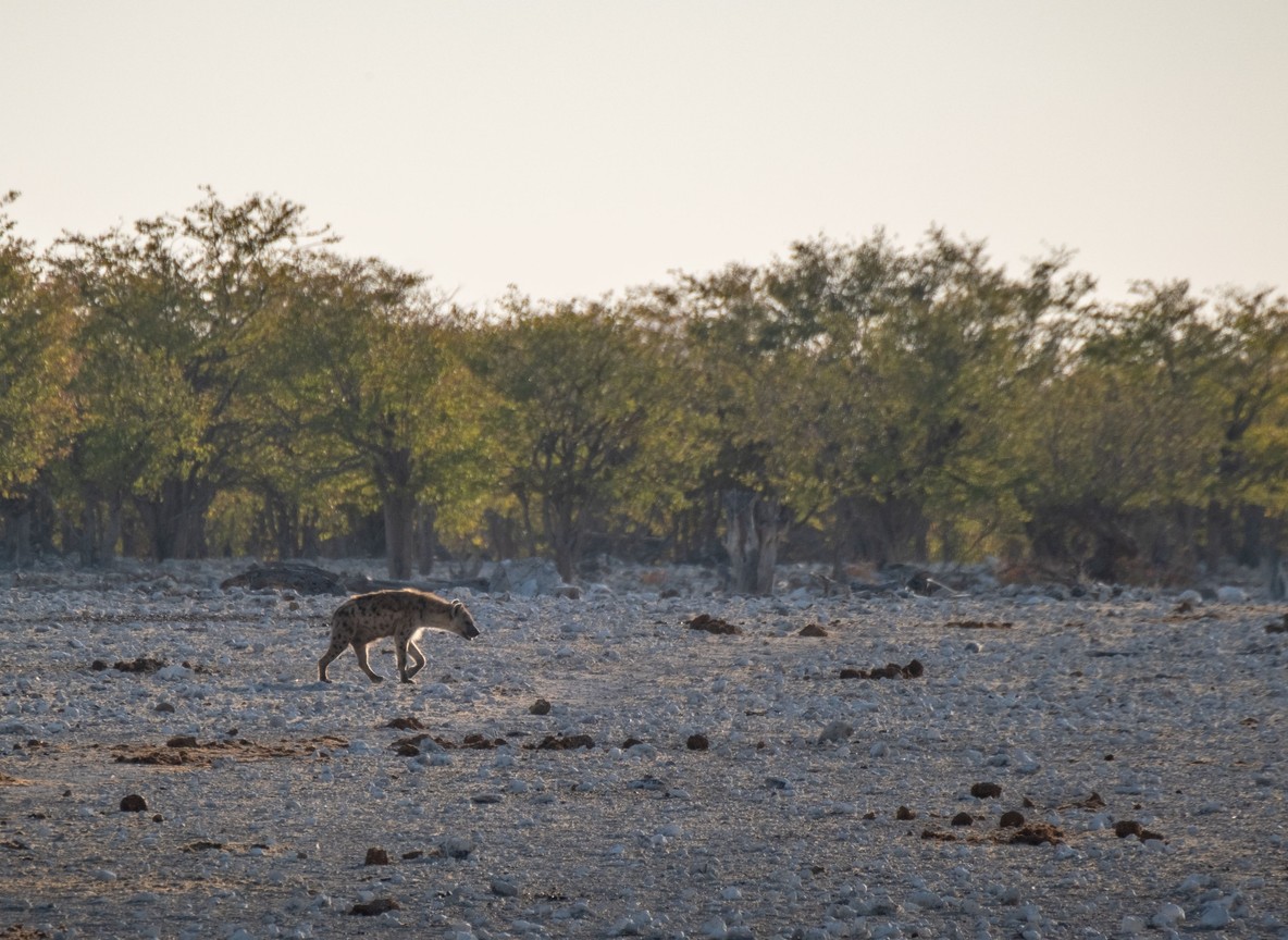
- Spotted hyena clans range across conservancy boundaries far more widely than lion prides, making them useful indicators of corridor health.
- Corridors that pass close to livestock bomas show measurably higher signs of human-wildlife tension than corridors through undeveloped conservancy land.
This is why camera trap data is now used directly in conservancy planning. When a corridor shows heavy, consistent use, it becomes a priority for protection, whether through community grazing agreements, fence removal, or ranger patrol focus.
The Mara’s Corridor Network at a Glance
| Corridor Link | Connects | Approx. Distance | Key Wildlife Tracked |
|---|---|---|---|
| Mara Reserve to Loita Forest | Masai Mara National Reserve to Loita Hills | 30-50 km | Elephant, buffalo |
| Mara River riverine belt | Mara Triangle to Main Reserve | Runs the length of the reserve | Leopard, hippo, crocodile |
| Naboisho-Mara North link | Naboisho Conservancy to Mara North Conservancy | 10-15 km | Lion, hyena |
| Mara-Serengeti transboundary route | Masai Mara National Reserve to Serengeti National Park | 80-100 km (ecosystem span) | Wildebeest, zebra (Great Migration) |
| Siana-Ol Kinyei dispersal area | Community land to Ol Kinyei Conservancy | 15-20 km | Elephant, giraffe |
Distances are approximate straight-line estimates across the ecosystem and are provided for orientation, not navigation.
Why This Research Matters for Your Safari
Understanding the corridor network changes what you look for on a game drive. A guide who knows the local corridor data will position your vehicle near a known crossing point at dawn or dusk, when movement along these routes peaks. This is a different skill from simply driving to where an animal was seen yesterday.
It also explains why conservancy-based safaris often outperform main-reserve-only itineraries for serious wildlife viewing. Conservancies such as Mara North, Naboisho, and Olare Motorogi sit directly on corridor land. Camps in these conservancies work with the same research teams running the camera trap networks, and guides are briefed on current movement patterns.
For travelers who care about conservation outcomes, not just sightings, this is where a Mara safari becomes genuinely meaningful. Booking with an operator that partners with corridor-focused conservancies puts your travel spending directly behind the research and patrol work that keeps these routes open.
Reserve vs Conservancy: Where the Corridor Data Points You
| Factor | Main Reserve (Narok County) | Corridor Conservancies |
|---|---|---|
| Park/conservation fee | USD 200 per person per day (indicative, main reserve) | Typically USD 70-100 per person per night (indicative, often bundled into camp rate) |
| Camera trap and research access | Limited, managed by reserve authority | Active partnerships with Kenya Wildlife Trust, Mara Elephant Project |
| Vehicle density | High at peak season | Low, capped per conservancy agreement |
| Night drives to follow corridor movement | Not permitted | Permitted at most conservancy camps |
| Proximity to Loita corridor | Northern boundary only | Naboisho and Mara North border the route directly |
When Corridor Movement Is Easiest to Witness
Camera trap data shows that corridor activity is not constant throughout the year. It follows water, grass, and the rhythm of the Great Migration.
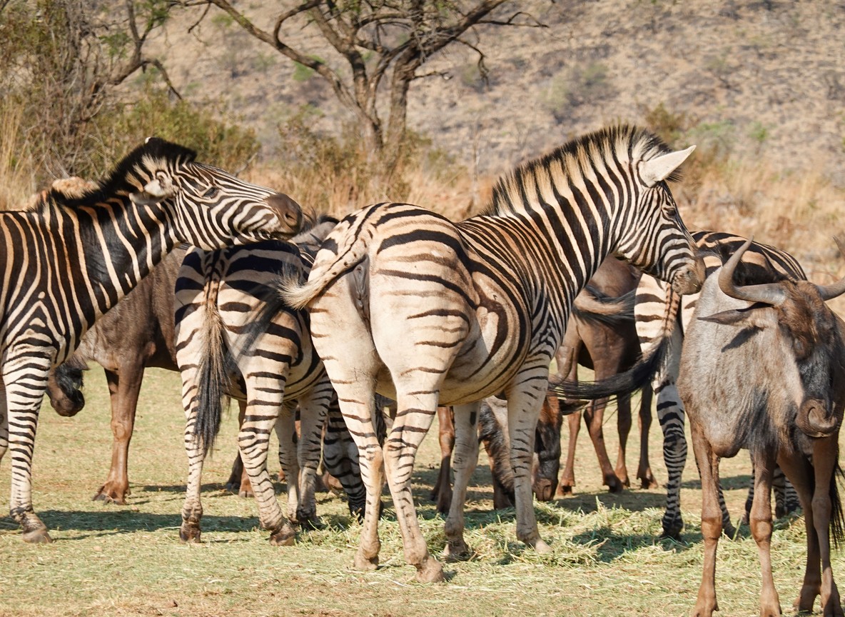
Dry season (June to October): Elephant movement along the Mara-Loita corridor increases sharply as herds leave the reserve in search of forest water sources. This is also when the Great Migration itself is active in the Mara, with wildebeest and zebra using the transboundary route between Kenya and Tanzania. Guides positioned near known corridor points during early morning and late afternoon see the highest movement.
Wet season (November to May): Corridor use spreads out. With water and grazing available across a wider area, animals rely less on the narrow, forced routes and more on the open plains. Sightings along specific corridor points become less predictable, though the ecosystem as a whole is quieter and greener.
Night movement: A significant share of elephant corridor crossings recorded by camera traps happen after dark, when human activity along the forest edge is lowest. This is one reason conservancy camps that permit night drives, which the main reserve does not allow, offer a genuinely different chance at observing corridor behaviour rather than just resident wildlife.
Trunktrails Safaris builds itineraries around these seasonal patterns rather than a fixed template, so your game drives are timed to when corridor activity in your chosen conservancy is actually at its peak.
Getting to the Mara Corridor Country
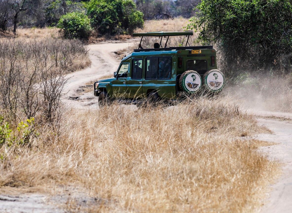
Most travelers reach the Masai Mara from Nairobi in one of two ways. The road route runs approximately 270 km from Nairobi via Narok town, taking 5 to 6 hours depending on road conditions. The faster option is a scheduled flight from Nairobi’s Wilson Airport, which takes roughly 45 minutes to one of the Mara’s airstrips, including Musiara, Keekorok, or Olkiombo, depending on your camp.
Entry to the main reserve is through gates including Sekenani Gate, Oloolaimutia Gate, Talek Gate, and Musiara Gate. Conservancy camps typically use private airstrips or unmarked tracks that bypass the main reserve gates entirely, which is one reason corridor conservancies feel less congested.
The Trunktrails Advantage: Safaris Built Around Real Ecosystem Data
Trunktrails Safaris does not simply book a camp and send you a confirmation. We work directly with conservancies operating along the Mara’s documented wildlife corridors, including partners near Naboisho, Mara North, and the Loita dispersal areas. Our guides are briefed on current movement patterns from the same camera trap and ranger networks that conservation teams use for research.
When you book tours and safaris with Trunktrails Safaris, you are not just choosing a route on a map. You are choosing an operator that understands why the Mara ecosystem works the way it does, and positions you accordingly. This is the difference between a safari that shows you what happened to be nearby and one that shows you where the ecosystem is actually moving. 🌍
We are proudly Kenyan-owned, Nairobi-based, and committed to conservation-led tours and safaris across the Mara ecosystem.
Plan Your Masai Mara Corridor Safari
The hidden highways of the Masai Mara are still being mapped, one camera trap image at a time. See them for yourself with a guide who understands the data behind the sightings.
Contact Trunktrails Safaris to plan your trip:
Further reading
More safari planning resources
- Interactive Maasai Mara map from Valley Safaris
- Maasai Mara National Reserve guide on Touring Insights
- Big Five safari collection on FindMySafari
- Masai Mara destination guide on FindMySafari
- WhatsApp: +254 113 208888
- Email: info@trunktrailssafaris.com
- Website: trunktrailssafaris.com
- Kenyan-Owned | Nairobi-Based | Tours and Safaris Across the Mara Ecosystem